A revolutionary European satellite built to measure the Earth’s forests in 3D has launched — and at its core is a 20-year research effort led by the University of Sheffield.
However, local environmental campaigners say its impact will depend on whether the communities most affected by climate change can access its data.
The Biomass satellite, launched by the European Space Agency (ESA) in April 2025, uses long-wavelength P-band radar to scan the world’s forests to measure forest structure and carbon content.
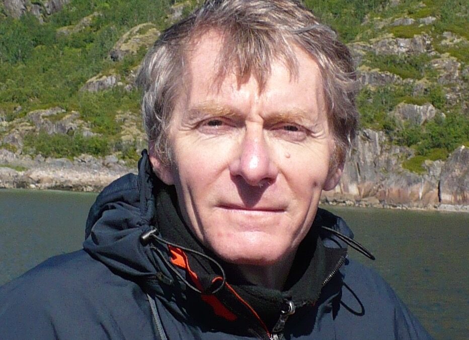
The mission, scientifically led by Professor Shaun Quegan, Sheffield’s School of Mathematical and Physical Sciences, is at the forefront of environmental science.
“For the first time, we’ll be able to produce consistent, global data on forest biomass,” Professor Quegan said. “Around 10% of global CO₂ emissions come from deforestation, but that figure has a 65% uncertainty. This mission will help bring that sharply down.”
Map of forested areas in and around Sheffield, similar to the data Biomass will collect globally.
The data, which will be freely available, could help governments, researchers, and NGOs monitor land use and support climate pledges.
However, Maxwell Ayambe, 45, founder of the Sheffield Environmental Movement, said: “Many of the communities we work with come from the Global South — they’re directly affected by deforestation and climate breakdown.
“They’re not part of the environmental discourse. They see the effects on the news, but they’re not at the table.”
He believes the mission could play a powerful role in local education and engagement, particularly for schools and young climate activists — if it’s integrated into education and made accessible to the communities most affected.
“Young climate activists and schools could benefit — if the data is shared in a way that’s understandable and practical,” Mr Ayambe said. “We need to bring the science home.”
The Biomass mission will map the Earth’s land surface every nine months over five years, producing open-source records of forest change and carbon flow.
Professor Quegan said space-based data is only part of the solution: “An essential support for the mission — in fact missions, including GEDI and NISAR — comes from teams providing ground measurements of biomass, especially in the tropics.
“We refer to this as the ‘fourth mission’, and it’s vital that it receives full recognition and benefits from the satellite data.
“It’s a tool the world needs and the feather in a cap for the university.”